
7 February 2019 Abraham’s Bay to Acklins Island, Bahamas (Day 1)
The weather forecast is for consistent east winds for the next 5 days, so we decided to go to Acklins Island. It’s an awkward 70 mile sail – even if we left at dawn, we wouldn’t get there in daylight. Abrahams Bay is too dangerous to leave before dawn, so our only option is to leave before sunset today and slowly bumble there overnight - fortunately, it’s downwind.
After breakfast, I worked on the toilet. First, I had to clear the cockpit locker; remove the dive compressor and unfasten some heating pipework, so that I could get access to the tiny space where the toilet hose loops back down into the engine room. It took another 20 minutes of thrutching, grunting and swearing to feed the hose through the three bulkheads and onto the fittings. After cleaning out the toilet pump and fitting a new joker valve, we had a working toilet.
We tidied up and then put the dinghy on deck, ready for a night at sea. At 13:45, we pulled up the anchor and motored west, planning to anchor as close to the west entrance as we could. We knew that we’d be leaving directly into the setting sun and would therefore not be able to see the reef, so we went out to the approach to the entrance and then returned to an anchoring spot, recording a track on our tablet Navionics app. All we have to do is follow the track out to sea.
We anchored at 22°19.72N 073°02.14W in 5 metres depth. It was a bit bouncy with the 15-20 knot wind creating 2 foot wind waves, but it was only for a few hours. I grabbed an hour’s kip while Glenys restlessly pottered about – she hates the waiting to do a night sail. We cracked up at 16:30 and motored out of the pass, following our track, without any problems. Once out at sea, we unfurled the genoa and rolled dead downwind at 3-4 knots.
It was a lovely clear night, no moon, but the stars were out in force. The wind stayed at a steady 15 knots, so it was easy sailing – only having to gybe the genoa a couple of time as the wind shifted slightly. A few big ships passed during the night, but kept well clear of the strange sailboat bobbing along at 3-4 knots.
8 February 2019 Abraham’s Bay to Acklins Island, Bahamas (Day 2)
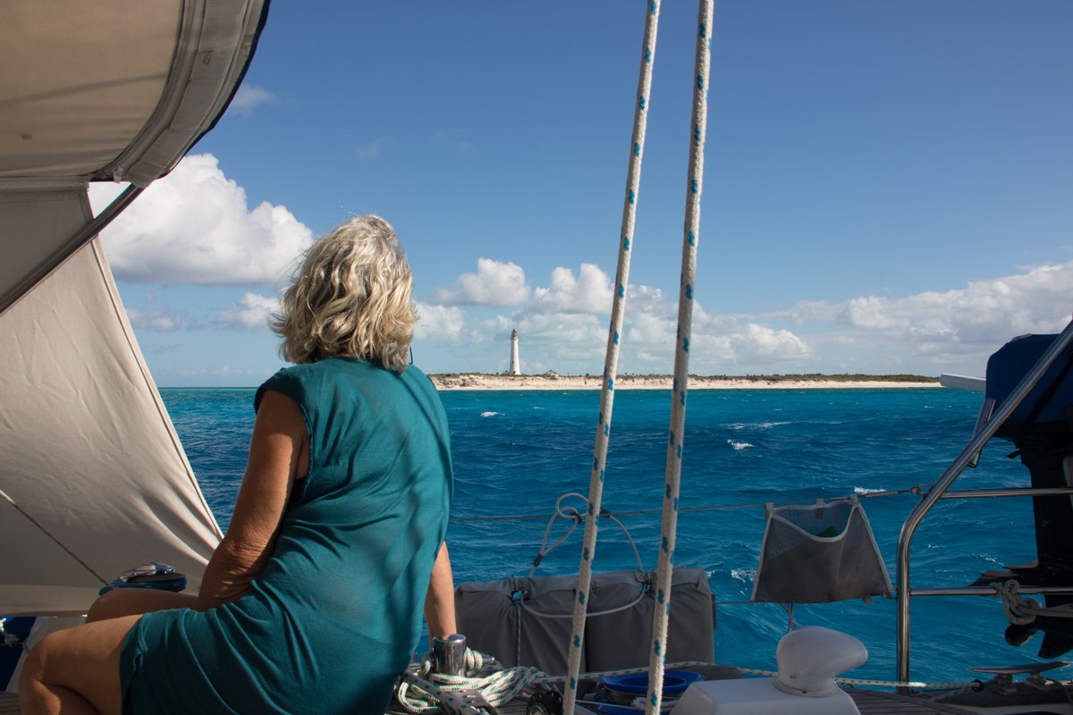
At dawn, we could see the tall white lighthouse on Castle Island although it was still 15 miles away. There’s an anchorage on the south side of Castle Island, which looked like it might be interesting, but when we approached it, we had 2 metre waves and the anchorage looked to be littered with coral heads – we couldn’t see any nice sandy area, so we ran away.
This started a series of failed anchorages. We looked at the west side of Castle Island, but the wind was howling from the north-east making the anchorage look unpleasant. Our next attempt was a few miles north at Datum Bay, which is on South-west Point, but again there didn’t appear to be any sandy area and there was a fair bit of swell coming from the north. To make matters worse, a series of squalls were passing over us, darkening the skies and making it difficult to judge the seabed.
We continued along the coast and anchored at 22°10.91N 074°17.12W in 6 metres depth. The anchor dug in well, but there was a surprising amount of swell coming from the north and after ten minutes, I decided that the boat was rolling too much. Wearily, we pulled up the anchor and headed north, dropping our anchor in a very promising spot at 22°12.52N 074°17.07W in 4 metres depth, just south of Salina Point. It looked perfect – white sand with the occasional bommie, but we couldn’t get the anchor to hold.
I thought that the sand might be better holding in slightly deeper water, so we moved out and dropped in 6.5 metres, but again the anchor dragged. I donned my snorkelling gear and found that the sea bed was beautiful white sand, but only 1” deep over solid rock. The anchor just couldn’t dig in despite me diving down and trying to jam it in.
I had a swim around and thought that the sand might be deeper a little way out to sea, so I had Glenys reverse the boat, slowly dragging the anchor until it finally found a spot to dig in. She slowly increased the revs on the engine and, by the time she got to 1700 rpm, the anchor was completely buried under the surface of the sand. We ended up at 22°12.45N 074°17.11W in 8 metres of water – it’ll do…

It’s a pleasant anchorage, with good protection from the easterly winds and the northerly swell. We’re about 300 metres from the shore, but we’re happy enough. We even have our own coral garden just behind the boat. Later in the afternoon, I went for a snorkel on the coral heads which were very pretty albeit a little deep at 10 metres.
9 February 2019 Acklins to Crooked Island, Bahamas
There’s some strong 20-25 knot east winds forecast for tomorrow and the next day, so we decided to head north to Crooked Island, where hopefully we’ll have good protection.
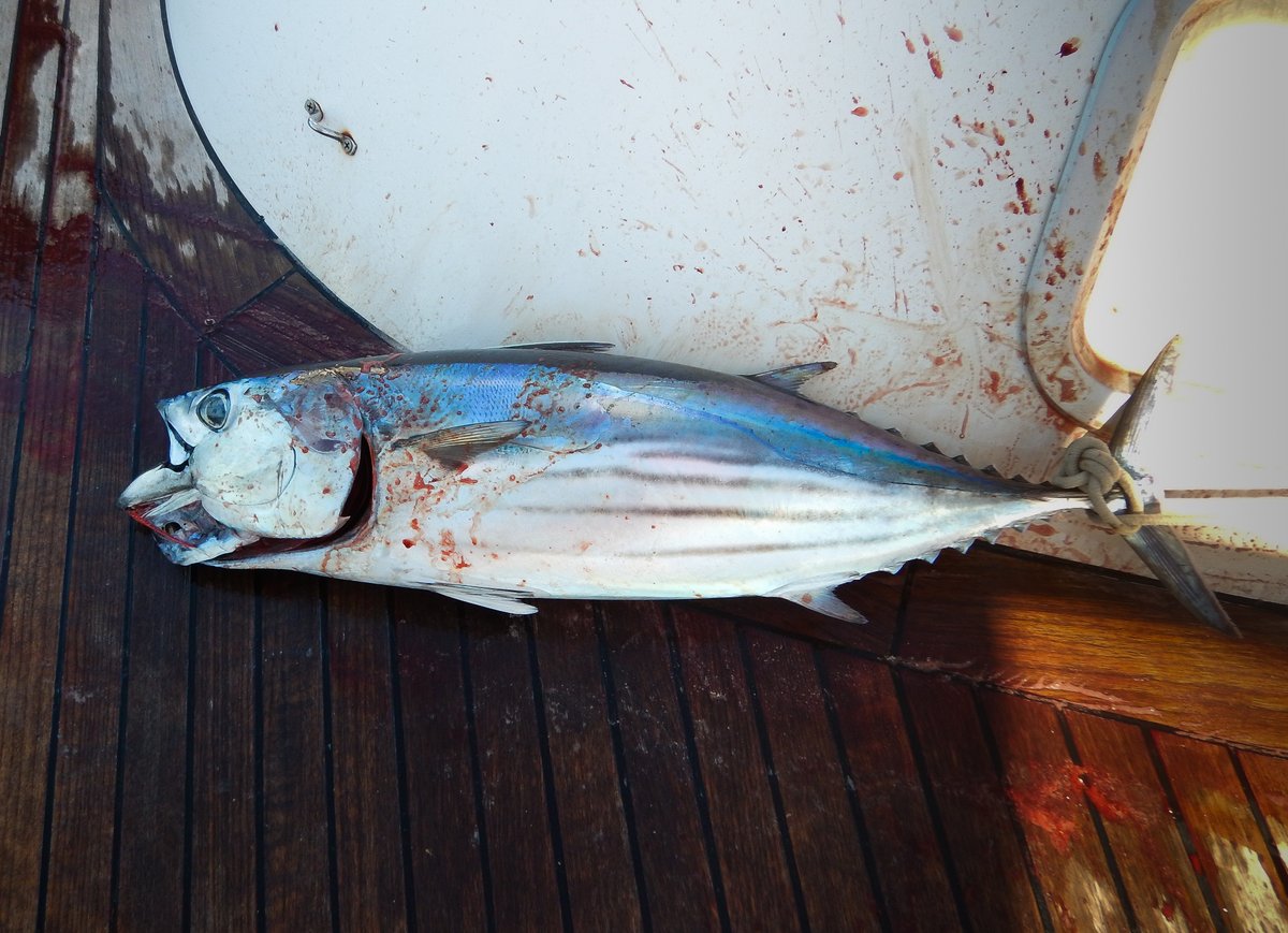
We had 15 knots of wind from ENE, so with our course of 345°, we were very hard on the wind. Despite that we had a very nice sail, mostly due to the relatively small waves in the lee of the islands. There's hardly any Sargassum Weed in the lee of the islands, so I was able to fish most of the way and caught a nice Tuna.
We made very good time and at about 14:00, we anchored to the south of Pitts Town Point at 22°49.15N 074°20.77W in 5 metres on a large patch of beautiful, white sand. When the sun shines, the colour of the water is stunning. There’s a little bit of surge coming around the reef to the north of us, but we should be very well protected from the strong east winds.
10 February 2019 Landrail Point, Crooked Island, Bahamas
It was a horrible day with 25 knots winds and squalls passing through bringing heavy rain, but at least the anchorage is great – we lurked on board all day.
11 February 2019 Pitts Town Point, Crooked Island, Bahamas
The unpleasant weather continued in the morning with strong winds coming from the south east making the anchorage a little more bouncy. I caught up on some administration and signed the broker agreement to sell Alba. Reality hit me when I clicked the button to send the email off to the broker – we’re actually going to sell our home.
The anchor chain has been slipping in the windlass for the past few months, so I dug out a spare gypsy from my spares locker. It’s been used before, but it’s in better condition than the one on the windlass. It was a quick job and fingers crossed, the chain won’t slip anymore.
In the afternoon, in a lull in the squalls, we decided to go over to the lighthouse, which is about 1½ miles away. Unfortunately, the waves were big and confused as we passed by Pitts Town Point – a combination of swell from the north and wind waves from the south east. The waves were 3 foot high and very steep – too much for our little dinghy, so we beat a hasty retreat and went to look for somewhere more protected to snorkel.
The guide book says that there are some under-cut caves and good snorkelling south of Landrail point, but there was too much surge close to the small cliffs, so we went a bit further off shore to a random reef. It was in terrible condition – most of the coral was dead and covered in green algae, so it has little chance of recovering. I believe that these sorts of dead reefs are caused by the local fishermen using bleach to force lobster out of their holes. I don’t think that they do this anymore, but the legacy of human greed will persist for decades.
It really threw it down in the evening. It looks like there’s a front coming down the day after tomorrow, so we’re going to head to Clarence town tomorrow to get some 360 degree protection.
12 February 2019 Pitts Town Point to Clarence Town, Bahamas
At 07:00, there was no wind in the anchorage, but I was expecting 15 knot ESE winds and big waves from the last few days of high winds. So, before we left the anchorage, I rigged up the spinnaker pole to starboard– it’s about five times faster working on a non-moving deck.
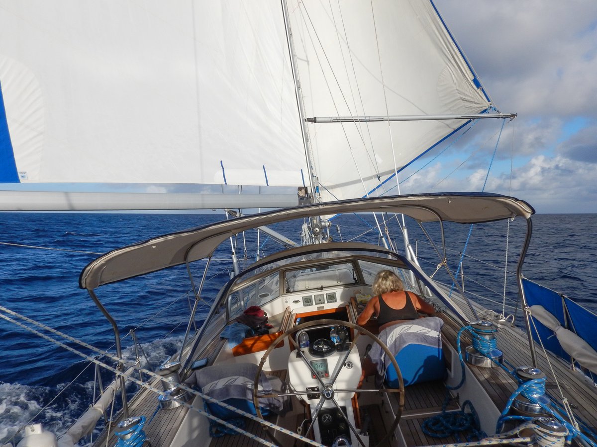
We motored for about 20 minutes, by which time the wind had picked up to 12 knots, so we put the main out to port and pulled the genoa out to starboard. Thirty minutes later, we had 20-25 knot winds with 3 metre seas, so we were cracking along with a reefed main and genoa.
Despite the rolling, it was a very pleasant sail to Clarence Town. To approach to the harbour, we had to go around the north of a headland, passing some scary breaking reefs before we could approach from heading south. We had a look at the anchorage to the south of Strachan Cay, just past Sandy Point, but in the 20-25 knot ESE winds, we would have a lee shore too close behind us.
We came out and anchored to the south west of the island at 23°06.26N 074°57.06W in 4 metres depth on good holding sand and weed. I snorkelled around the boat to check the anchor and there are some patches of rock and rubble around.
It continued to blow a hooley all afternoon, but settled down a little in the evening.
13 February 2019 Clarence Town, Bahamas
The weather forecast shows that a front will sweep its way south today, passing over us tonight. The wind is going to slowly veer from ESE to South to West overnight, presumably with some rain. Fortunately, the wind is only forecast to be 10-15 knots overnight, so it shouldn’t be too bad. The weather for the next three days is very confused with a couple of weak lows and troughs hanging around, which will give us winds from the North-west through to South at 5-15 knots - it looks like we’re trapped here for a few days.
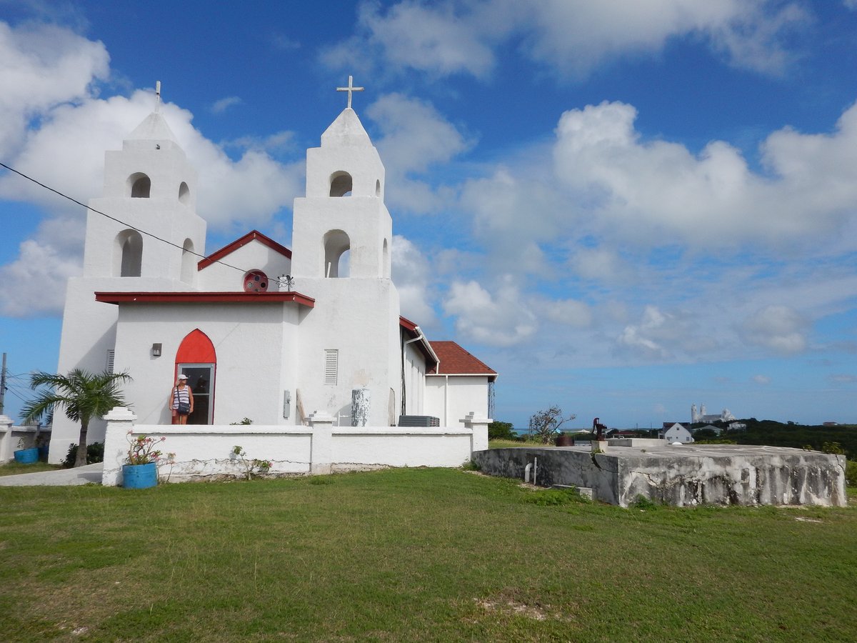
With the wind expected to veer to the south, I had a look at our anchor position and didn’t like the look of a dark patch to the north of us. So, we pulled up our anchor and moved about 50 metres further south-west, away from the shallows. We’re now at 23°06.25N 074°57.11W in 4 metres of water. I snorkelled around the anchor and we’re in a nice flat patch of sand with light weed, so I’m happy here.
In the afternoon, we zipped across to the marina, where we were welcome to tie up to the most western dock. They sell fuel, so I topped up my petrol jerry container. We walked into the small settlement and called in at a small “convenience store”, which had basic items, frozen food and a few fresh onions and potatoes. We bought a few things to last us for two weeks until we get to George Town.
There are two churches in settlement that were built by Jerome Hawes. Originally he was an Anglican Missionary and built St Paul’s church in 1910, He later converted to Catholicism and then built St Peters church around 1939. Both churches were locked up, so we didn’t get a chance to go inside. There wasn’t much else to see, so we wandered back to the boat.