
1 April 2016 Phi Phi Don to Rok Nok , Thailand
It was another early start with a forty mile passage ahead of us. We motored five miles to Phi Phi Le (07°40.80N 098°45.80E), where a movie called “The Beach” was filmed - it has thousands of tourists visiting each day. Having arrived at half past seven, we were expecting to get there before the maddening crowds, but all of the ten moorings were occupied by charter catamarans and there was already over a hundred people milling about on the beach, with a steady stream of long-tails chugging into the bay. We stayed and stared for a few minutes and left - “Been There, Seen That”
The wind was a steady 15 knots from the east, so with our southerly course, we had a lovely sail to Ko Ha Yai, where we picked up a mooring at 07°25.78N 098°53.63E. This small group of three rocky islands is another popular destination for snorkelling and is supposed to be one of the best places in the area for scuba diving. We just went snorkelling for an hour off the cliffs. The water was clear but the coral and sea-life was a little disappointing.

Some marine park rangers caught us before we had a chance to leave and charged us 400 Baht (£8) per person. Fortunately, it also includes mooring at Rok Nok and covers us for five days. In the afternoon, the wind dropped and swung around to the south-west, which seems to be the prevailing weather pattern here. We had to motor-sail the remaining fifteen miles to Rok Nok, where we picked up one of the eight orange moorings at 07°12.87N 099°04.05E.
We just had time to jump into the water and go for a snorkel near the mooring, which was okay - interesting terrain and some fish, but the water isn’t too clear.
2 April 2016 Rok Nok , Thailand
After our two early starts, we had a quiet morning pottering about. While we’ve been sailing over the past couple of days, I’ve been checking the tension on the rigging and found that it’s not correct. With our type of rigging (with two in-line spreaders), the following should occur when we are beating to windward:
• The leeward cap shrouds should be just going slack
• The leeward lower shrouds should be remain relatively tight
• The leeward intermediate shrouds should be slack.
At the moment, the front lower shroud is becoming very loose and the cap shrouds are remaining very tight. I reckon that the cap shrouds are way too tight and are compressing the mast, forcing the front of the mast forwards. With this in mind, I loosened off the cap shrouds by one turn and tightened up the front lower shrouds by one turn. I’ll check it when we next go sailing and adjust again.
We ran the water-maker for ninety minutes and the water tastes much better now - we’ve lost the horrible bleach taint and can return to drinking our water. Just before lunch, we went snorkelling at the northern part of the channel between the two islands, which was a nice snorkelling site with interesting coral formations and sandy patches.

In the afternoon, I filled our scuba dive tanks and we went for a dive at 07 12.5484 N 099 03.9874 E where we picked up an orange mooring. The dive was okay, going down to 20 metres, but the visibility was poor and the reef is covered in sediment. I couldn’t find any small critters, but there were plenty of fish to take photos of including False Clown Anemonefish, a Lionfish and a friendly shoal of Longfin Bannerfish.


3 April 2016 Rok Nok , Thailand
We had an unsettled night because the wind picked up from the east and the tide turned us to that our stern was pointing into the wind waves. This causes the waves to slap into the underside of our sugar scoop stern and makes a terrible racket. Fortunately, it only it lasted for a couple of hours.
The morning was a lazy affair, with Glenys reading, while I caught up on processing all the underwater photographs that I’ve taken over the past few days. In the afternoon, we went snorkelling, trying the west side of Rok Nok, a few hundred metres out of the channel. The water was clear, but the sea bed was just a rocky reef with not much to see and there was a lot of surge.
Glenys spotted a tiny 10mm long Juvenile Spanish Dancer nudibranch, which was free swimming. I tried to take a picture of it swimming, but the surge was too strong to focus. Eventually I “helped” it land on a rock, but it was so small that it was difficult to photograph. I found out later that we’d seen a juvenile and adults can grow as long as 24 inches.

We headed back into the channel and picked up a small mooring on the southwest side of the channel about 100 metres from the outer end, which was a much better site. The water wasn’t as clear, but the terrain was better with much more sea life. I focussed on getting a picture of a Skunk Anemonefish, which I haven’t photographed before.

4 April 2016 Rok Nok to Koh Muk, Thailand
It was a much better night, without the slapping waves, but it was hot because there was no wind - you can’t win sometimes. We went for a snorkel at about ten o’clock, which was okay, but there was a strong current in the channel, which made it challenging. I played about with my new Auto-Magic filter on my underwater camera. Normally the colours are very muted, but this filter “magically” retains the vibrancy of the colours in shallow water - it seems to work.
Back on the boat, we tidied up and set off for the fifteen mile passage to Koh Muk. There wasn’t a breath of wind, so we motored and even had to have our electric fans running in the cockpit to try to stay cool. Both of us kept in the shade, hiding from the sun all afternoon, but we still had a touch of sunburn by the end of the trip.

We dropped the anchor at Koh Muk in 9 metres of water at 07°22.53N 099°17.14E, next to a small beach. It’s an impressive looking anchorage with very tall sheer cliffs, but there was no protection from the afternoon wind, which was coming from the west. Consequently, we had two foot waves bouncing us around, with the rocky cliffs looming a hundred metres behind us - it was very unsettling and neither of us wanted to leave the boat to go exploring. Fortunately, the wind died in the evening and the anchorage turned out to be very pleasant.
5 April 2016 Koh Muk to Koh Phetra, Thailand
After breakfast, we chilled out for a while and then motored around the corner to have a look at the entrance to the Emerald Cave. This is another Hong similar to the ones we looked at further north, where there’s a cave at sea level leading to a lagoon hidden deep inside the island. One of the “must-do” things in Thailand is to swim through the dark 60 metre long tunnel to get to the Emerald Cave.
By the time that we got there, the tourist boats had arrived, with scores of boats rafted up on the moorings and long lines of tourists being led into the hong, so we couldn’t be bothered. Perhaps we’ll come back later in the year and do the trip in the evening or early morning when there are no crowds.
Once again there was no wind, so we had a very boring 25 mile trip to Koh Phetra. The only thing of note is that there were thousands of fishing traps on the route, so we were dodging flagged buoys for most of the way - it reminded us of the lobster pots in Maine. We anchored in 10 metres of water at 07°02.70N 099°28.13E.
Koh Phetra is a stunning island with a long rocky ridge terminating in a 300 metre peak at the south end. The anchorage is a bit of a roadstead and is protected from only from the north east to the south east, but in the settled conditions that we have at the moment, it’s very nice.

6 April 2016 Koh Phetra to Koh Adang, Butang Islands
As we left the anchorage, I went forward to pull out the main sail, but it jammed in the mast and I struggled for fifteen minutes to sort it out. The leech of the sail had somehow folded over and was too thick to pull out of the 15mm wide slot. After a lot of cursing and pulling, I eventually had to drop the main sail onto the deck and then re-hoist it.
This is only the second time in five years that we’ve had a problem with the roller furling and I suspect that I didn’t have enough tension in the halyard, so the very top of the leech had doubled over. The main sail is becoming increasingly creased when reefed, and with 15,000 miles still to go on our circumnavigation, I wonder if it’s time to bite the bullet and buy a new mainsail.
The rest of the 35 mile passage to the Butang Islands was uninteresting, having no wind and flat calm seas - I hate all this motoring. We tried to pick up a mooring off the north side of Koh Kata (06°32.74N 099°15.52E), but it was way too close to the reef. Instead we headed over to the west side of Koh Adang and picked up a mooring at 06°32.14N 099°16.85E, which was much better. A little later, the marine park rangers came by and charged us 400 Baht (£8) which covers us for five days.
The current really rips through the Butang Islands, so we had to wait for an hour or so until we could safely go snorkelling and even then we had to take the dinghy closer to shore because the current was still too strong at our mooring. The reef was in very good condition and the snorkelling was good with plenty of fish although the visibility was a little poor.
Back on the boat, the wind was coming from the north with the current from the south, so Alba was being pushed onto the rubber mooring ball causing it to bang against the hull. The irregular thumping noise was driving me crazy, so we dropped the mooring and anchored close by in 15 metres of water.

7 April 2016 Koh Adang to Koh Sawang, Butang Islands
I ran the dive compressor to fill our two tanks, then we dinghied over to the south side of Koh Kata (06°32.39N 099°15.52E) and picked up an orange dive mooring. The dive was excellent. We dropped down to 20 metres and then followed the sloping seabed around to the west.
The visibility was ok and the sea bed is sand with isolated coral heads, providing some interesting poking about. The highlight is the rocky wall back under the dive mooring, where we spent a happy twenty minutes at ten metres searching out nudibranchs and other small critters. We came across a Giant Moray surrounded by hundreds of Dancing Shrimps.
After lunch, we motored over to Koh Sawang and picked up a mooring at 06°30.22N 99°10.92E. It’s at the far south-west far end of the Butang Islands and is an impressive place. The mooring is very exposed, but the weather has been so mild that we decided to stay.
Unfortunately, the visibility when we went snorkelling wasn’t as good as I expected and, despite a long dinghy ride, we couldn’t find a site that looked good for diving. I think that there’s a dive on the south side of Koh Sawang, but the currents are so strong around here that it would be unsafe for us to go diving without a surface support boat.
8 April 2016 Koh Sawang to Ko Butang, Butang Islands
We’ve been living on Alba for exactly five years today, so I worked out a few statistics. In the past twelve months, we’ve sailed 6,982 nautical miles bringing our total to 26,970 since we moved aboard. We’re now at 99 degrees of longitude, meaning that we’ve done 55% of our circum-navigation. In the last year, we’ve run the engine for 380 hours, which at 5 knots equates to 1,900 miles, which means that we’ve spent 27% of our time motoring - I suspect that about half of that has been since we passed through the equator into Malaysia and Thailand.
We dropped the mooring in the middle of the morning and motored over to the north-east side of Koh Butang. It was only a few miles, so we didn’t bother to tidy up and looked like a tramp steamer with dive gear hanging about all over the place and the big awning draped over the boom. We anchored at 06°32.10N 099°10.10E in 15 metres of water alongside a shallow reef. It’s a lovely sheltered anchorage with two small islands about 400 metres away.
After lunch, we went snorkelling by the larger of the two islands. It was interesting reef to the north east side, but there were scores of tourists flapping around in their orange life jackets, scaring off the sea-life. The currents are very strong in this area and we were nearly caught out, with a very strong current against us as we tried to get around the corner back to our dinghy - we only just made it.
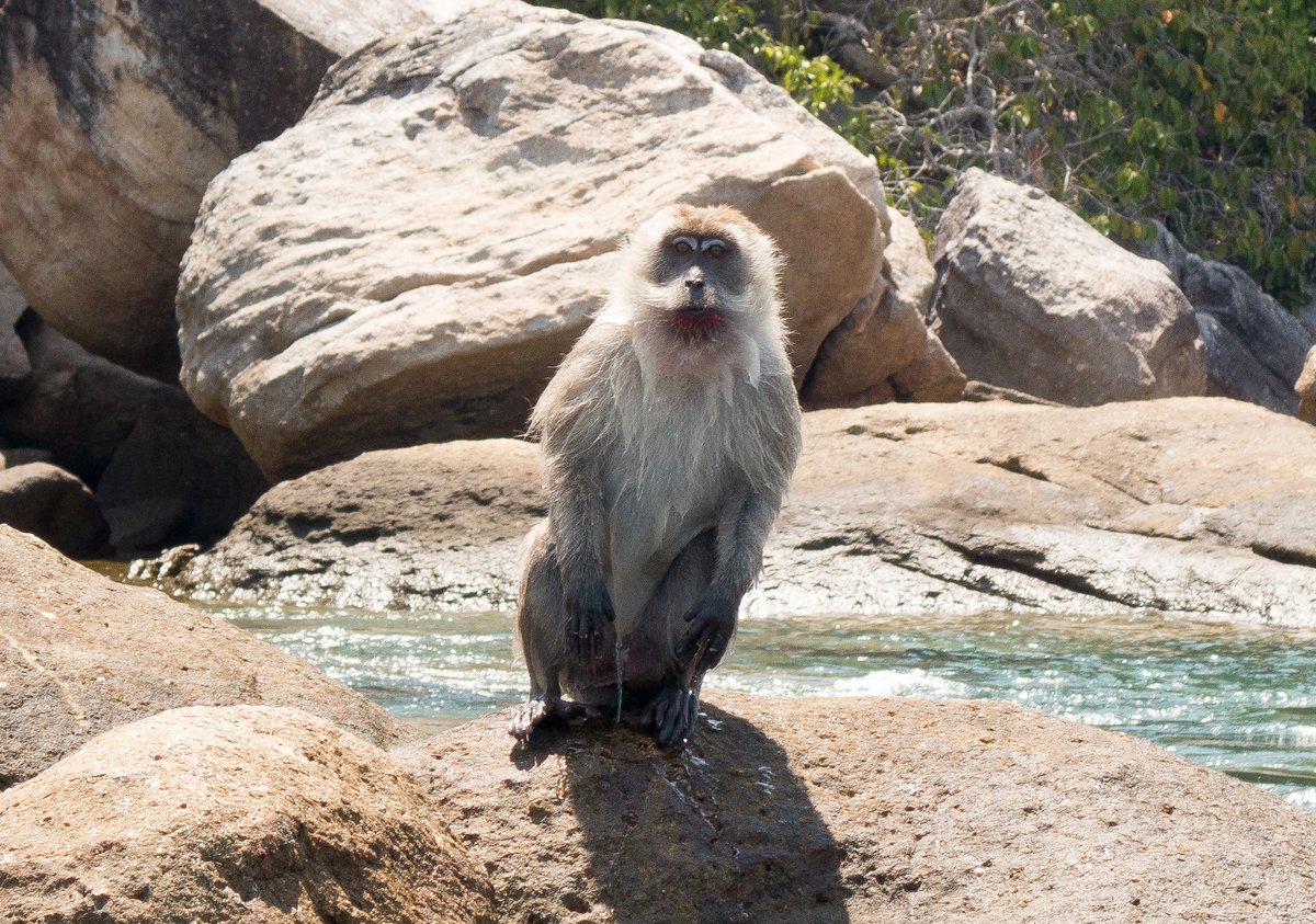
We’ve done so much snorkelling in the past week that I’m getting picky now about taking photos and nothing seemed to excite me. However, just as we were getting ready to leave, we spotted an animal swimming in the water, which turned out to be a Longtailed Macaque. It climbed onto a rock and sat there eating some food, which I guess it had scammed from one of the tourist boats.

I attracted the monkey’s attention, so that I could take some photos and it jumped into the water and started to swim towards us. It climbed onto a nearby rock and stared at us wanting some food. I think that it must have seen the movie “Shrek” because it did a pathetic pose just like the cat.
9 April 2016 Ko Butang to Koh Adang, Butang Islands
After a late start, we motored over to Koh Barat, where we’ve seen lots of tourist long-tails stopping. We tried to anchor to the north of Arch Rock, but it was either rock or coral and after two attempts at 10 metres and 15 metres, we gave up and returned to the anchorage on the west side of Koh Adang.
It was very calm and very, very hot, so after lunch, we went in the dinghy on a little snorkelling expedition around Koh Kata. The current was very strong on the north-east corner, so we didn’t get in the water. We picked up a white and blue mooring on the north-west corner, where there was no current and good coral, but mediocre visibility.
There’s a small bay on the west side of the island, which is cordoned off for the tourist boats, which was okay, but we didn’t stay long because Glenys got stung on the lip by something (and there were scores of tourists failing around.)
We’ve finally run out of beer, wine, cheese, meat, fruit and vegetables - our only provisions now are onions, potatoes, rice, eggs and tins, so it’s time to go to Langkawi.
10 April 2016 Koh Adang to Telaga, Malaysia
While tidying up the boat to sail to Langkawi, we ran the water maker to completely fill the water tanks because we won’t be able to run the water maker in Telaga Harbour - we managed to get underway by quarter past ten. As we rounded the island of Ko Lipe, the wind picked up enough to sail - yahoo!
Unfortunately, it was short lived and, a couple of hours later, we were back to motoring all the way to Telaga Harbour in Malaysia. We anchored at 06°21.74N 099°40.77E in 2.1 metres of water (chart datum). The holding is poor in this harbour and we were slowly dragging when we backed the anchor in at 1500 rpm - we normally pull backwards at 2000 rpm. We decided that it was holding well enough for the calm conditions that we have at the moment and the anchor will probably slowly work its way in deeper.
We won’t be able to clear customs until tomorrow, but I nipped ashore to book a car for tomorrow afternoon - we desperately need to get some food. In the evening, we went out for a meal and splashed out on a couple of pizzas in one of the expensive restaurants in the marina.
11 April 2016 Telaga, Langkawi
It’s very simple to clear into Malaysia - the three offices of Immigration, Port Captain and Customs are in one building in the marina. We filled in one form at Immigration, handed over our departure clearance from Thailand to Customs and filled in another form in the Port Captain. No fees, no hassle and, best of all, they asked no questions about where we’ve been for the past two weeks since we cleared out of Thailand.
After picking up a car from the marina office (£2 per hour), we drove into the main town of Kuah to run a few errands. I had no luck in buying a replacement high pressure hose for my dive regulator, but we were successful in buying some new SIM cards for our iPad and mobile phone. Glenys picked up some courtesy flags from a small shop in Kuah, where they stock a large range of hand sewn flags.
Glenys went to a dentist to see if they could do an implant, but it appears that no one in Langkawi does implants. They offered to remove the tooth while we wait, but Glenys politely declined. Goodness knows what she’s going to do now. Perhaps she can get it sorted out in Georgetown. It’s not causing any pain at the moment, but the logistics of sorting out the problem is defeating us.
After a pleasant Chinese lunch in the middle of Kuah, we went to a supermarket and stocked up. It was half past four by the time that we’d lugged everything on board Alba and then it was a rush to get ready to receive Phil and Sandy from “Southern Wing” for dinner. We had a pleasant evening catching up on the past few months.
12 April 2016 Telaga, Langkawi
We had a very lazy day with Glenys reading and playing her ukulele. I spent all day programming a new version of the Underwater Photographs module for our website.
13 April 2016 Telaga, Langkawi
We had another lazy day, I sorted through my Underwater Photographs and uploaded them to our website. I now have 800 underwater photos of 560 species of fish and other sea-life, most of which I’ve taken over the past two years.

14 April 2016 Telaga, Langkawi
We hired another car, so that we could pick up our laundry and do some more shopping. We finally found the wet market, which is a fair way outside Kuah town. It’s not too bad for fish and vegetables and Glenys bought a kilo of Water Buffalo meat.
We had “Peggy West” over for a few drinks in the evening.
15 April 2016 Telaga, Langkawi
It’s so peaceful in this anchorage and it’s so hot ashore, that we can’t be bothered to get off the boat, so we had yet another day of pottering about.
Glenys did some research on dentists in Malaysia and has decided to have her tooth fixed in Georgetown. She’s been in touch with a dentist there and they’ve set up an appointment to see her on the 27th April. They’re sophisticated enough that they can do the relevant bone grafts and do an implant, so we’ll be staying there for a couple of weeks, while she gets the work done.
“Southern Wing” invited us over for dinner.
16 April 2016 Telaga, Langkawi
We had yet another lazy day.
My mission today was to investigate the Anambas Islands, which are a group of dozens of small islands about 150 miles east of Singapore. It seems logical to go and explore these rarely visited islands and then sail a hundred miles back east to Tioman on the Malaysian peninsula.
Unfortunately, the Anambas belong to Indonesia and there is no Port of Clearance in the islands. The only way to legally get there is to sail from Singapore to Nongsa Point Marina, clear into Indonesia, sail 150 miles to the Anambas Islands and then sail 150 miles back (upwind) to Nongsa Point Marina to clear out of Indonesia. It’s not a surprise that not many cruisers want do this.
To add to the complications, there have been a number piracy attacks on commercial shipping in the area surrounding the Anambas Islands. However, the attacks seem to be limited to big ships, not small yachts, and there’s just as many attacks in the Mallaca Straits and Singapore Straits, where we’re already sailing. So, because of the slight risk of a piracy attack and some old reports of hassle from local officials, cruisers have been avoiding the area for years.
The other problem is that it’s very difficult to find any information about the place on the internet. It seems that some live-aboard dive boats go there and there have been a couple of 7-day trips by boats from Singapore, but nobody seems to go there to cruise the area. The islands are alleged to have fabulous diving and are sparsely populated, so it sounds lovely.
I spent hours trying to research the place and even drove around Telaga harbour asking other cruisers if they know anything about it, but nobody ever goes there - it’s bizarre.
17 April 2016 Telaga, Langkawi
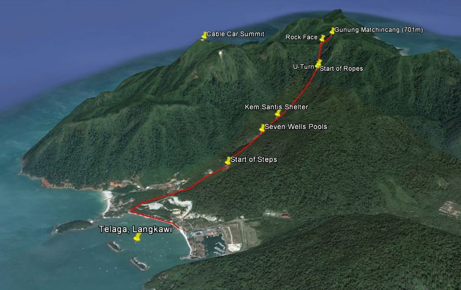
We managed to prise ourselves off the boat and went for a hike. We were on the beach at eight o’clock and set off with the aim of walking up to the highest peak in the area, which has a cable car going up to it. We’d read that there’s a trail which starts at the Seven Wells Waterfalls.
It took us 45 minutes to walk along the road and up the 638 steps to the waterfall area. Last November, there were large pools of water flowing over the smooth rocks, forming natural water slides, but now at the end of the dry season, the pools were stagnant and shallow.
The hike starts at the back of the waterfall area and after crossing the stream, we found ourselves on a good path in dense tropical forest. An hour later, after crossing a couple of concrete bridges and walking past a few small shelters, we came to a steep section where the park rangers have fixed ropes. The going was tough after this, scrambling up a 30-45 degree slope, but the ropes were strong and very helpful.
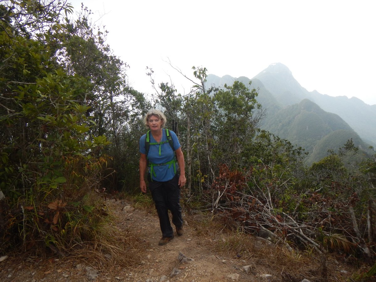
Ten minutes later, we came across a sign with a big U-Turn arrow, which was obviously telling us to go back down. However, there was a good path continuing off to the left, with fixed ropes, so we followed that. Two hours after leaving the waterfall pools, the trail led us past a large cliff, where we met a group of guys coming down. They were on a weekend trip from Georgetown and had set off at seven o’clock. They told us that we were 20 minutes from the top, so we’d made fairly good time.
We continued up to the peak - it took us 2½ hours from the waterfall area to 701 metres. To our surprise, we weren’t at the top of the cable car, but on another peak, called Gunung Machincang, a mile further inland. I was a little gutted because I’d been looking forward to an ice cream. We had a few minutes rest and a sandwich and then started down because a huge thunderstorm was approaching.
The scramble back down was much easier than going up, mostly because we could use the ropes and it took us a total of two hours to get back down to the bottom of the Seven Wells steps, where there are some cafes. We chugged down a coke and had a bite to eat, before wearily walking for 30 minutes back to the dinghy - a very good six hour hike.
Glenys really struggled on the up-hill sections, feeling exhausted and even dizzy at times. At several points in the hike we had to stop and rest, which is very unusual for us. It was very, very hot even under the forest canopy, so we think that it’s a combination of dehydration, heat-exhaustion and being a bit unfit.
18 April 2016 Telaga to Singa Besar, Langkawi
It was time to move on, so we motored into the marina; filled up with fuel and managed to escape Telaga. We motored into deeper, cleaner water and hove-to for an hour to make some water.
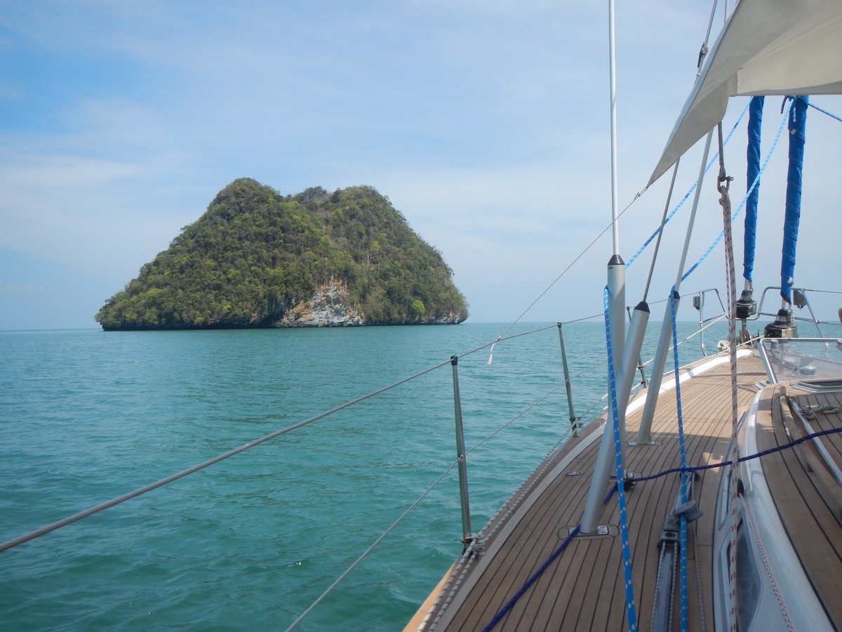
It was only a short five mile trip into the anchorage at Singa Besar, where we anchored at 06°13.59N 099°44.80E in 5 metres of water. It’s a nice peaceful anchorage, and there’s a small bar on the sandy beach, but after our exertions yesterday, we couldn’t move our legs. We had an early night.
19 April 2016 Singa Besar to Pulau Timun, Langkawi
After breakfast, we motored into Kuah to run a few errands - buying some two stroke oil and a few vegetables. The main town is very strange with dozens of “duty free” shops selling handbags, chocolate and, bizzarely, huge ranges of non-stick pans. There are no grocery shops and only one hardware shop.
I eventually found some two stroke oil at a small car parts shop on the back road. They in turn, pointed us to a couple of small grocery shops also along the back road. Amazingly, we stumbled across a very good (for Kuah) shop with an excellent chilled vegetable section. It looks like a warehouse and I suspect that they are a wholesale operation, but they were very willing to sell us a few vegetables.
After a quick, cheap lunch at the Water Garden, we were back at the boat by half past one. Instead of spending the afternoon lying around in the oppressive heat, we upped anchor and motored around the corner to Pulau Timun to anchor at 06°18.68N 099°55.70E. This is a lovely anchorage - very isolated with a high rocky island, which gives some protection form the south east, although I wouldn’t want to be in here with any swell coming in.
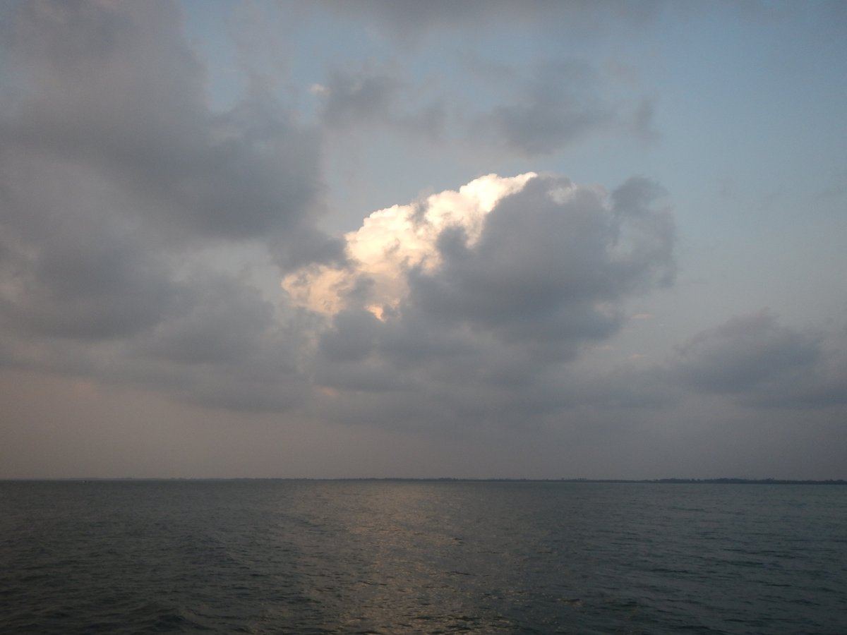
In the evening, we had our first major thunderstorm for ages. The weather in this region is dominated by the two monsoons. The NE monsoon is roughly from December to April and the SW monsoon is from June to October. We’re now in a transition period and, regrettably, I expect to have a thunderstorm every night.
The storm was a cracker. We had huge flashes of lightning and torrential rain as the large storm slowly passed over us for 30 minutes. As usual, we disconnected my laptop and shoved various electronic devices into the oven just in case we were struck by lightning.
With all the torrential rain, we had water leaks in the saloon, with water dripping from the head-linings. I pulled down one of the head-linings to check if the water was coming through the newly fitted deck fittings - thankfully, it wasn’t. Further investigation revealed that three of our twelve portholes are leaking quite badly. I’ve got some new seals somewhere, which I’ve been carrying around for a couple of years - I really must fit them.
20 April 2016 Pulau Timun to Pulau Bunting, Malaysia
We upped anchor at around nine o’clock and, for a change, we had some wind and a pleasant sail for a few hours. As we approached Pulau Payar, the wind died on us and we motored around the corner to the north-east side of the island where last year there were three big moorings available. This time there were no moorings vacant - the outer one was missing and the other two were occupied by huge tourist boats.
Pulau Payar is a national park with good scuba diving, but there is no anchoring allowed, so we couldn’t stay. I was gutted. We were hoping to stay for a few days and do some diving - we now won’t be able to dive until July.
Our only option was to carry on to a small island called Pulau Bunting, which is a few miles off the mainland of Malaysia. It took us four hours to get there. We arrived to find that there was a there was a nasty chop and a 15 knot onshore wind from the south-west, so we anchored on the north side at 05°52.93N 100°19.98E. It was a bit bouncy, but okay.
We anchored 100 metres away from a fishing buoy with a black flag, but after we’d settled down, I noticed that there was another buoy with a black flag about 400 metres behind us - was there a net between the two buoys? Sure enough, just before sunset, as the tide dropped, a net had popped to the surface next to us, so we moved 50 metres further away from it - the last thing that I want is an angry fisherman waking me up at midnight.
We watched a movie and went to bed at 22:30. The rain started at eleven o’clock, the lightning started ten minutes later. The wind picked up to about thirty knots and bounced us around all over the place. It was very unpleasant. I’m not sure when it all stopped, but I’m guessing that it went on for an hour.
21 April 2016 Pulau Bunting to Jerejak Island, Penang
After a night of hell, the morning was very pleasant with a 10 knot off-shore breeze. Our strategy of stuffing towels behind the curtains of the leaking windows seems to have contained the rainwater.
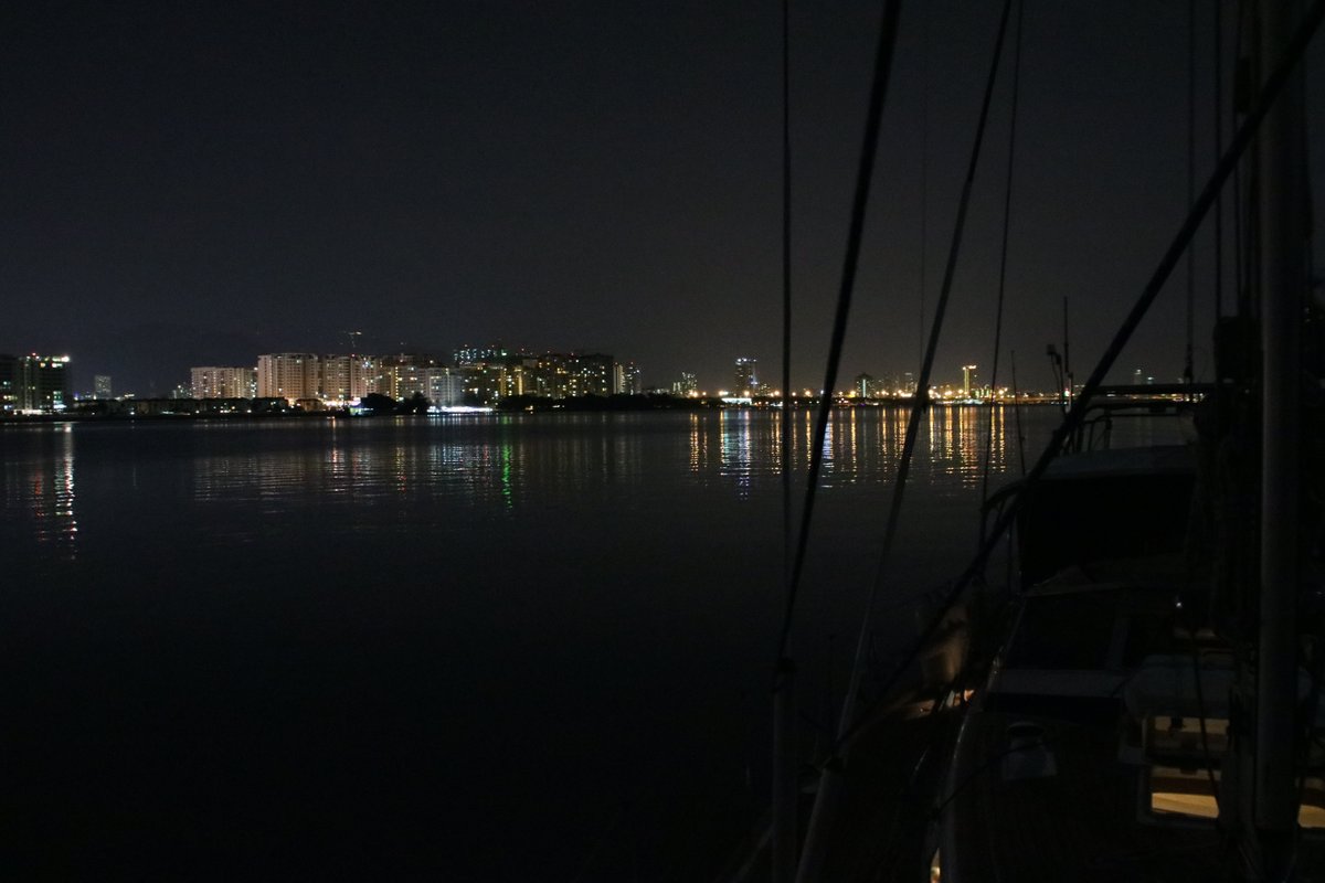
We had variable wind for the 40 mile passage to Penang and managed to sail for three hours out of the nine hour trip. On the way, while we were in deeper, cleaner water, we ran the water maker for a couple of hours to fill up our water tanks.
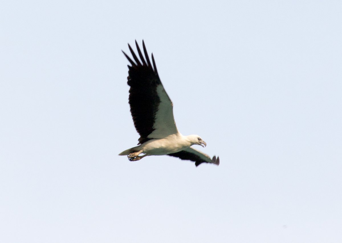
Instead of anchoring off the Jerejak Resort, we carried on a little further and anchored at Jerejak North at 05°19.68N 100°18.84E in 10 metres of water. It’s a pleasant spot. When we look ashore to the island, there’s thick jungle coming down to several small beaches, with about a dozen White-bellied Sea Eagles flying about and Long-tailed Macaques strolling around on the beaches.
However, the mainland of Penang is only half a mile away, so when we look to the west, all we can see is huge blocks of flats, a big shopping mall and cars hurrying along the busy shore road. There’s a constant drone of traffic and occasional passenger jets roaring overhead, which all adds to the feeling that we’re in one of Malaysia’s big cities.
22 April 2016 Jerejak Island to Jabatan Laut, Penang
It was a fabulously peaceful night - no nets, no waves and no thunderstorms. After breakfast, we motored over to the mainland and anchored off the Jabatan Laut Marina at 05°21.25N 100°19.03E in 6 metres of water. The anchorage is only 350 metres from the huge bridge connecting Penang Island to the mainland and is overlooked by big apartment towers - it reminds me of being in the Intra-coastal water way in Florida.
We dinghied ashore and had a long chat with Jon and Sue from “Ocelot”, who we haven’t seen for six months. The marina is owned by the Jabatan Laut, who are the people who look after the navigation buoyage in Malaysia. It’s very run down, but very cheap - unfortunately, it’s very shallow and not very good for us.
We walked to shopping mall, which was a good mile in the beating sun. The shopping mall is a typical flashy place packed with designer clothes and mobile phone shops - no interest to me at all.
Penang is a very multi-cultural place with Muslims, Chinese Buddhists, Indian Hindus and Christians, but surprisingly the supermarket was all Halal apart from one small bordered-off section where they sold alcohol and pork products. We bought some vacuum wrapped ham and pork fillets and didn’t think about it until we got to the check-out counter. The Muslim check-out girl refused to even touch the packages, so I had to lift them up so that she could scan the barcodes. I’m sure that we broke some taboos by even placing the vacuum packed pork on the conveyor belt.
We invited “Ocelot over for dinner.
23 April 2016 Jabatan Laut, Penang
In the morning, we went into the marina to visit “Per Ardua”. They’ve run out of cruising funds and have taken jobs as teachers in local schools on two year contracts to build up their cash again. Peter, Melia and their three children have been living on-board their 38 foot mono-hull in the marina for two months, which has been a challenge in this heat - they’re looking forward to moving into an air-conditioned apartment in the next couple of days.
Quite a few boats have been getting their anchor chains re-galvanised here in Penang. Our chain was re-galvanised 2 ½ years ago in Ecuador and is just starting to show rust spots. So, as we’ll be here for at least a week, I’ve arranged for it to be picked up on Monday afternoon. It’s going to cost us 5.90 Ringgits per kilo to get it double dipped, so our 62 metres of chain should cost about £175, which is about 25% of the cost of new chain.

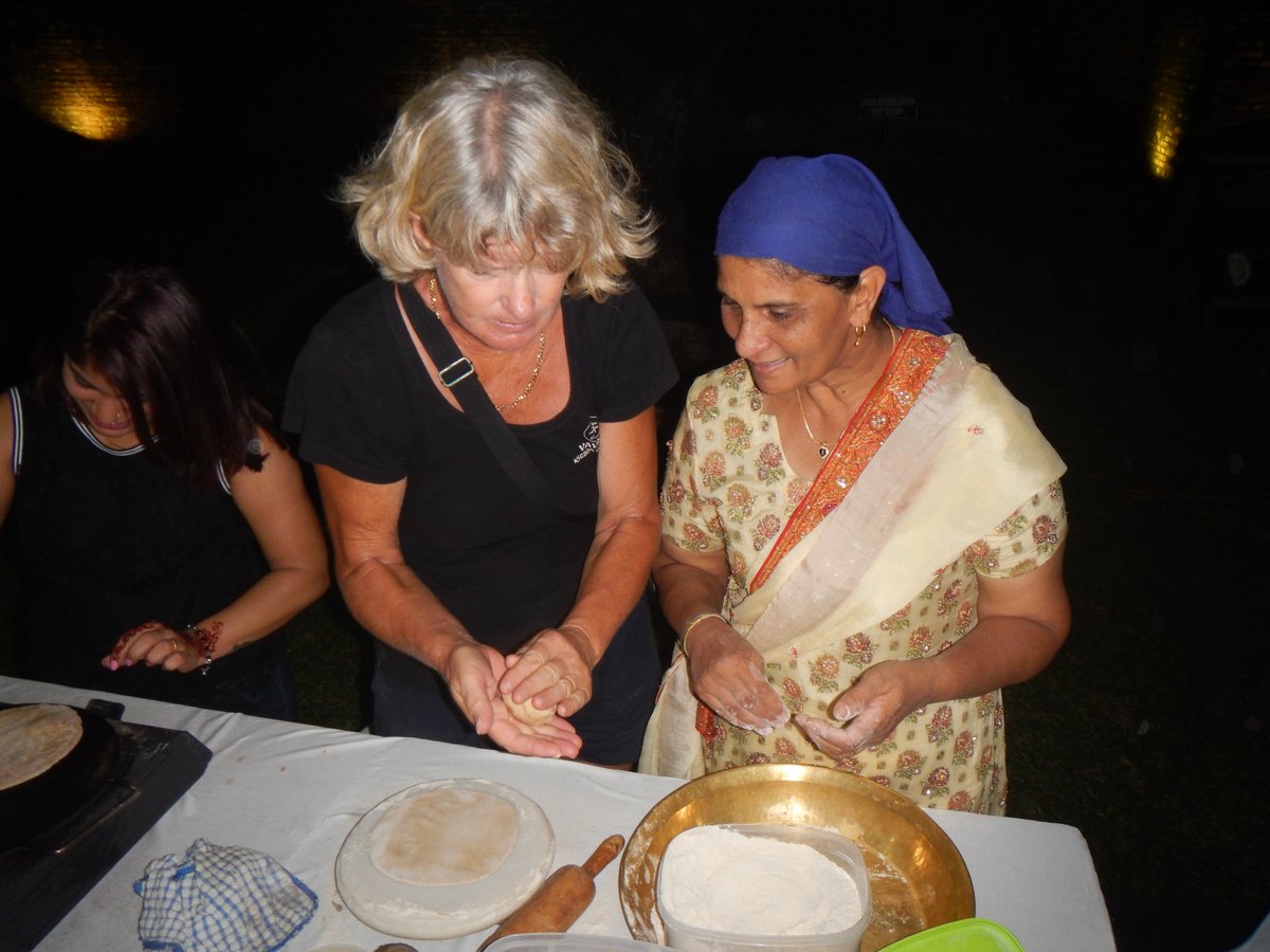
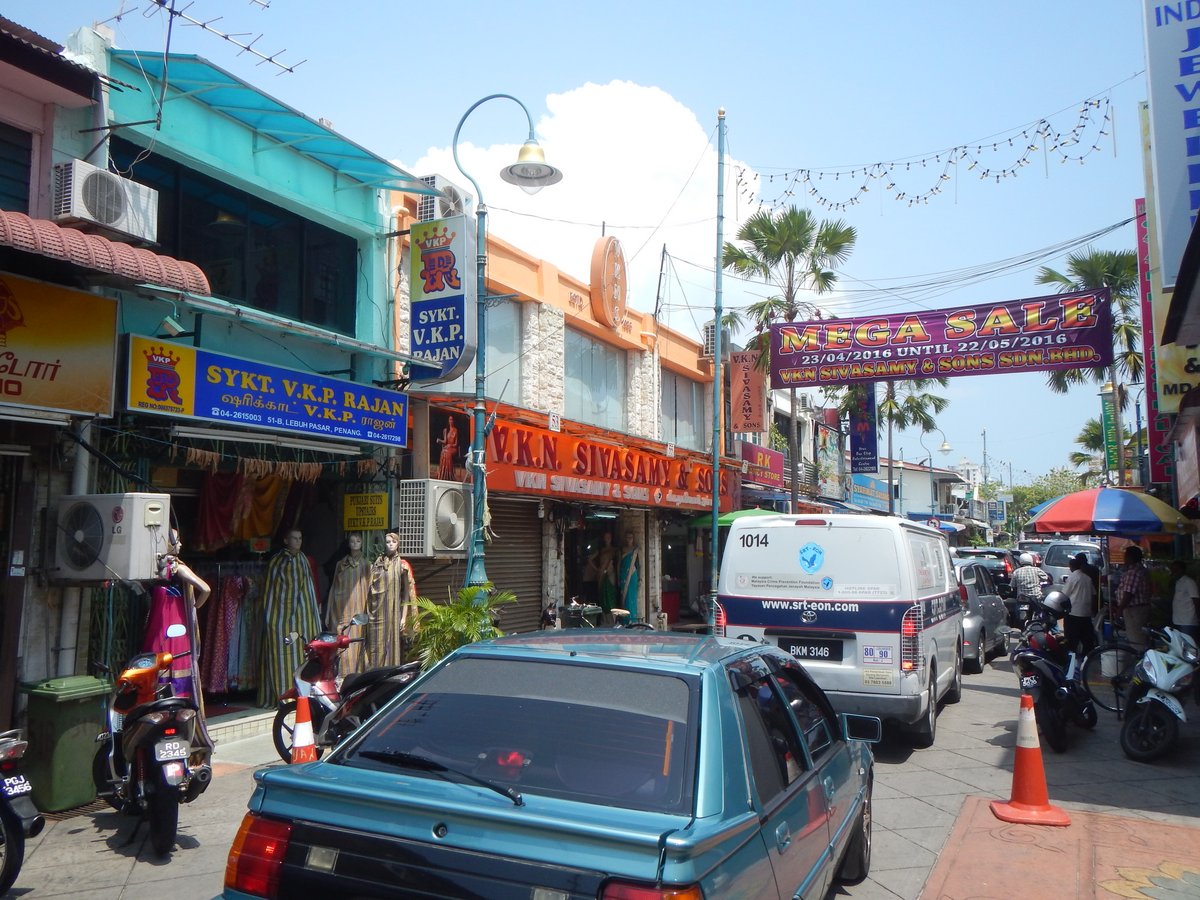
We had a lazy afternoon, with no motivation to do anything in the oppressive heat. In the evening, we met up with “Per Ardua” and they gave us a lift into Georgetown to the annual Sikh Vaisakhi Festival. It was very colourful with Indian ladies walking around in their saris and Sikh men strutting around in their bright, ceremonial costumes. The Sikhs laid on some free food and were careful to announce that the food was Halal and that their Muslim friends could eat without any concerns - we had nice chapatis and dall.
24 April 2016 Jabatan Laut, Penang
I spent most of the day getting the anchor chain ready to go for galvanising. Before I could touch the anchor, I had to sort out a rope to replace the chain. I’ve been using a ¾” thick, 8 plaid braid rope as a secondary anchor warp, but the eye on the end was looking decidedly dodgy, so my first job was to re-splice an eye. The rope is old and has stiffened up with age, so I struggled for an hour and eventually gave up because as I was tucking the strands in, the weave of the rope was getting tighter and tighter, to a point where it was impossible to budge.
I went to plan B and pulled out another rope that was newer. It already had a small eye on it, so I used that. We pulled up the anchor and while Glenys motored around, I swapped the anchor from our main chain onto a short length of 5/16” chain, then onto the rope warp. We put the anchor down with the rope warp and dug it in okay.
Unfortunately, the tidal current is very strong in this area, so with the wind against the tide, we were swanning about all over the place. There was nothing that we could do about it, so we decided that it was okay and I pulled the chain out of the anchor locker onto the deck ready to take it ashore in the dinghy tomorrow.
25 April 2016 Jabatan Laut to Straits Quay Marina, Penang
We woke thinking that the traffic on the bridge was particularly loud this morning. Popping my head out of the hatch, I could see why - we’d dragged 300 metres overnight and were now only 50 metres from the bridge. We were lucky that we weren’t pinned against the bridge…
After re-anchoring, we decided that we didn’t want to spend four nights anchored on a bit of string, so I rang Straits Quay marina and was able to reserve a berth for four nights. I then rang Mr Goh, at the galvanisers and arranged for him to pick up the chain from the marina in the afternoon.
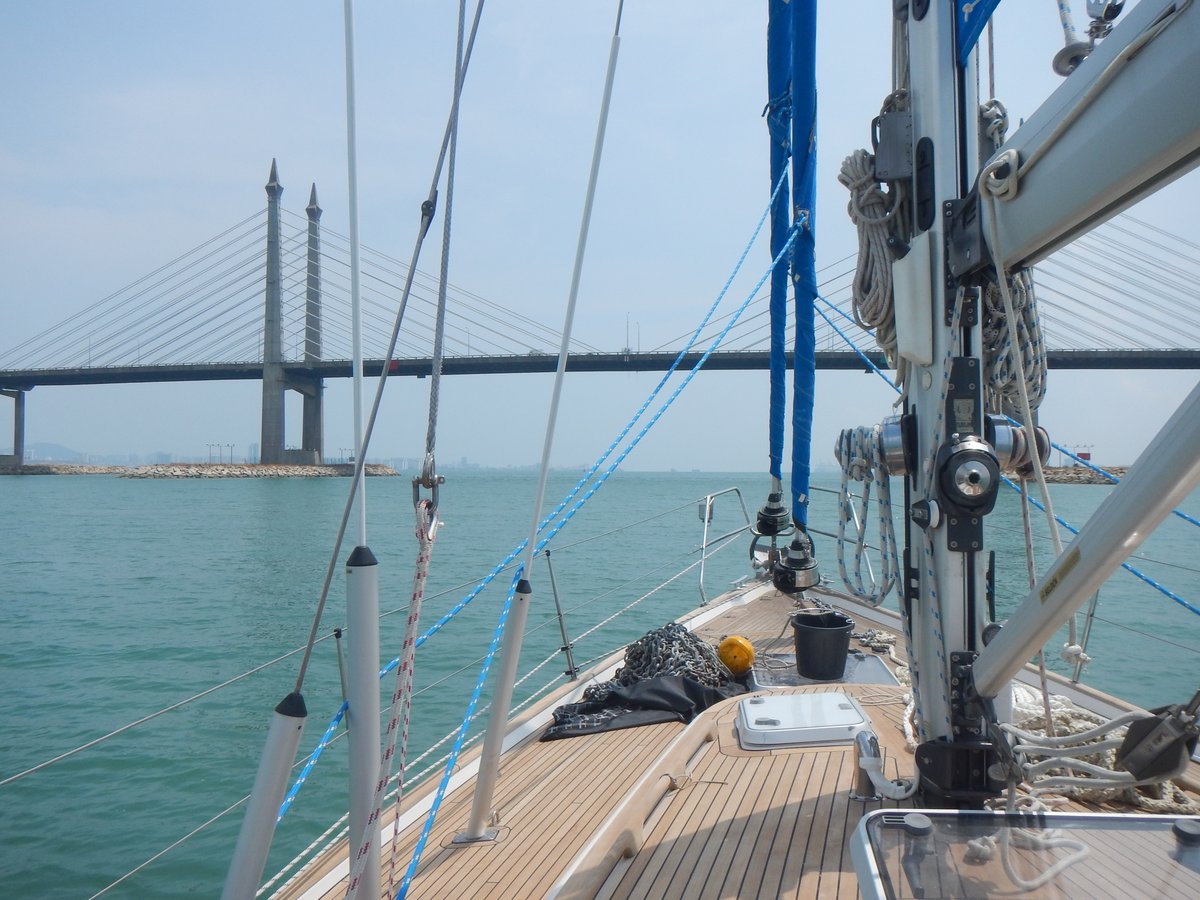
We slowly motored back north under the bridge and navigated through a lot of long, 2 foot diameter inflated yellow tubes which are something to do with dredging. It was a little worrying but we had over 8 metres of water as we went around them.
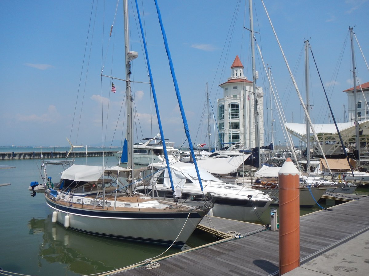
Straits Quay Marina is at 05°27.46N 100°18.89E and the approach is on a south-westerly bearing lining up with two posts with triangular marks. The entrance is next to a large tower and involves turning 120 degrees to starboard about 15 metres from the end of the breakwater - it’s very hard to see the entrance, so it’s a little fraught. The entrance is also very, very shallow - 0m at chart datum, but with a 2.6 metre tide at 15:36, we should be okay with our approach at 14:00. The depth slowly decreased as we approached and dropped to 2.2 metres as we rounded the breakwater - very scary.
Once in the marina, the depth increased to over 2.5 metres and we had 3.2 metres in our berth. When the tide dropped overnight, the minimum depth was 1.7 metres, so we were slightly in the mud. Mr Goh arrived more or less on time and whisked our chain away. He says that he’ll deliver it back on the 28th .
The marina is very posh surrounded by apartments and there’s even a shopping mall with dozens of restaurants. We had a few beers with Dave and Jacqui on Jackster and then went out for meal at a local restaurant for fish & chips.
26 April 2016 Straits Quay Marina, Penang
With the air-conditioning blasting away, it was very difficult to go outside in to the heat, so I spent most of the day pottering about doing some admin and small jobs. There’s only a three weeks before we fly back to the UK, so I checked our diving gear and ordered a spare set of regulators to be delivered to our son Craig’s house.
Glenys was much more dynamic and did a load of washing in the marina’s laundry. She then spent a couple of hours in the beating sun, painting waterproofing onto the bimini, which has been leaking slightly in the recent downpours.
27 April 2016 Straits Quay Marina, Penang
Our iPad is not very well - the display is faulty and half of the screen has gone dark. This is not good news because it’s become our primary navigation plotter, so we caught a taxi to the nearby Gurney Plaza shopping mall to get it fixed. The technician thought that it was a faulty LCD display, so we left the iPad with him to get it replaced.
After catching another taxi into the centre of Georgetown, we wandered the streets of Little India and Chinatown, being tourists for a few hours. It’s a lovely town with a huge variety of architecture. We walked past European colonial buildings, Chinese clan houses, Mosques, Hindu temples and Buddhist temples. Little India is a riot of colours, smells and sounds with Bollywood music blaring away as sari-clad women stroll around the shops.
After a very filling Indian curry for lunch, we caught another taxi (which are cheap here). Glenys went to see a dentist and I continued back to the Shopping Mall where I discovered that the problem is not the LCD display, instead there’s something wrong with the motherboard - bummer. I took the iPad back and surprisingly there was no charge because they hadn’t fixed it - good service. I’ll take it to the UK and get it fixed there.
Glenys arrived back at the boat soon after me and the dentist has recommended that she have a root canal procedure - she’s booked into see a specialist tomorrow. The problem tooth has a crown and they might have to remove the crown to do the work, which might mean that we have to stay here longer than we thought. We’re supposed to leave the marina tomorrow, so I went to the office and they’ve managed to find a place for us in the very busy marina for a few more days.
28 April 2016 Straits Quay Marina, Penang
Glenys went off to see the dentist and I stayed behind to do some admin. I spent most of the day doing research into our planned trip up the east coast of the Malaysian Peninsula. I still have a bee in my bonnet about visiting the Anambas Islands, but again I’m finding it impossible to get any information about this area.
I found a “Tourist” web site, but it’s a work-in-progress and I can’t even get in touch with any of the small hotels there. It’s very strange, it’s like an information black hole.
Glenys returned after having a 2½ hour session in the dentist chair. She’s had the crown removed and the dentist has done the root canal procedure. However, she now has to go back next week and have a peg put in before she can get a new crown. It looks like we’re going to be here until the 11th May and will then have to rush 240 miles south to get to Admiral Bay Marina before our flight leaves for the on the 18th May.
Teeth are definitely the most costly medical issue when cruising. Just as they did in the 1920s, I really should have had all Glenys’s teeth removed before I married her.
29 April 2016 Straits Quay Marina, Penang
We had another day pottering about on the boat. I continued with my research into the Anambas islands and made a little headway. I’ve discovered a few anchorages that a couple of yachts have visited, but not much more. I’ve made email contact with a couple of people who might be able to supply a bit more information, but it looks like we’ll just have to go there and explore.
The chain arrived back from the galvanisers - it looks okay, but the coating is uneven with some parts shiny and some dull. Also there are quite a few “drips” of solid zinc on the links, so it’s not the best job that I’ve seen. However, it’s much, much better than the chain corroding away.
30 April 2016 Straits Quay Marina, Penang
We had yet another day hanging about. Glenys went for a walk to the nearby Tesco Mall, while I played my guitar and some more research on the east coast of Malaysia. It looks like there’s very good diving in the Tioman and Perhentian Islands. Even better, it only costs between £15-20 to do a dive with a commercial operator, so I guess we’ll be doing a lot of diving.